and extensive tree damage at and near lake level. Outside that area the boundary separating light
and heavy damage trended toward higher elevations farther north in the state. Icing apparently
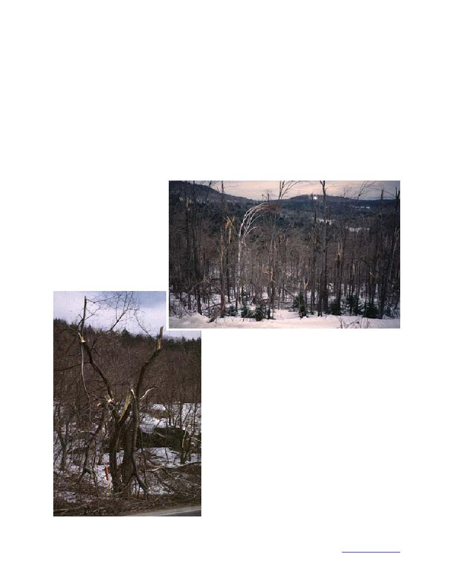
did not extend above about the 3000-ft level. Fig. 12a shows the tree damage at 1830 ft between
Randolph and Bethel. Farther east along this road, at elevations below about 1660 ft, trees were
not damaged. Damaged trees near Starksboro (750 ft) in western Vermont are shown in Fig. 12b.
On Mount Philo, south of Burlington in the Champlain Valley, even conifers were severely dam-
aged. Mount Philo rises about 500 ft above the surrounding terrain, to an elevation of 800 ft, with
a steep west-facing slope. Damage to red pines at the base of this slope is shown in Fig. 12c.
Oaks and scotch pines growing on the northeast-facing terrace on the top of Mount Philo were
also severely damaged. Tree damage farther north near Lake Champlain is shown in Fig. 12d and
e. The photo in Fig. 12d was taken on January 8 at 8:50 a.m. near Swanton, Vermont at an eleva-
a. Along the road between
Randolph and Bethel at 1830
ft (photo Jones).
b. Near Starksboro (photo Jones).
Figure 12. Tree damage in and near Vermont.
17
Back to contents page


 Previous Page
