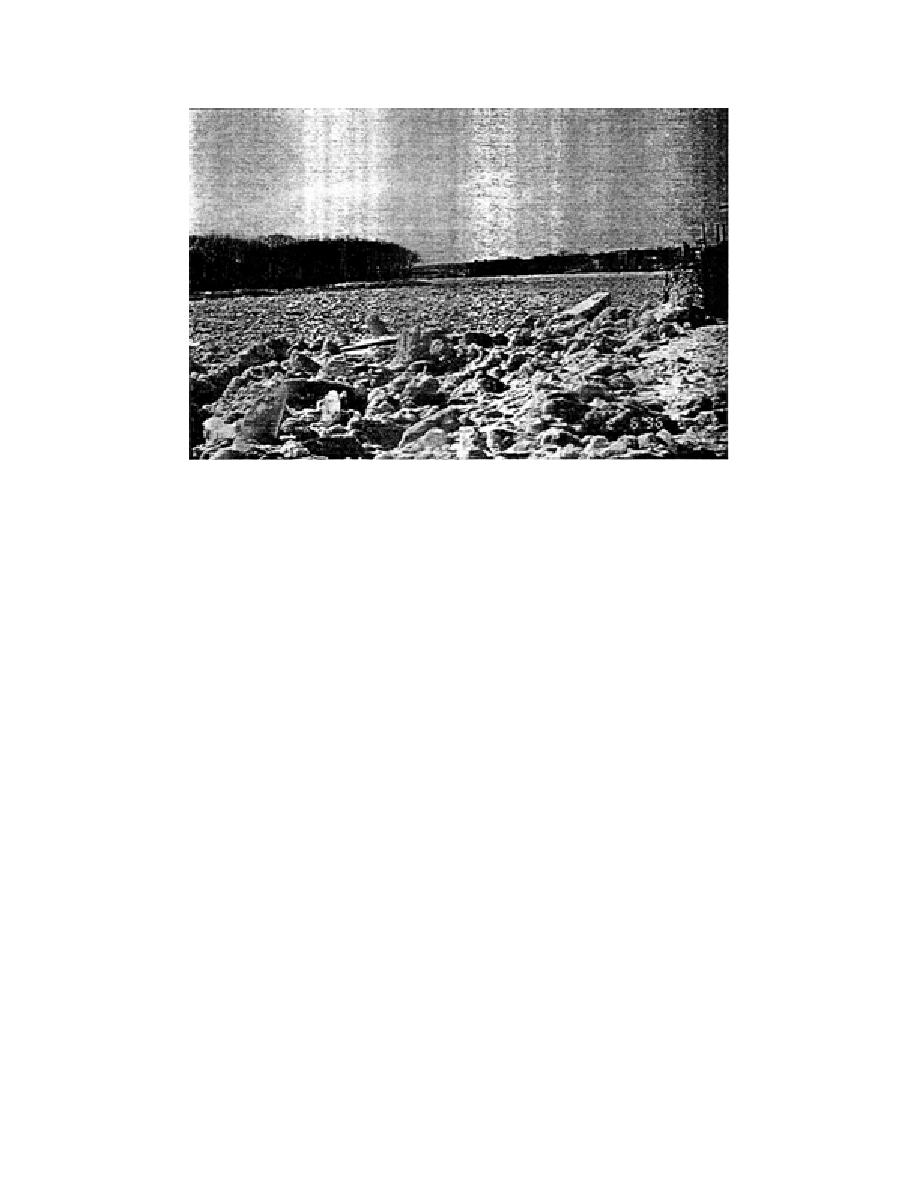
Figure 10. Mid-winter breakup jam on the Kennebec River in Maine.
mildly increases runoff discharge and decreases ice strength, often resulting in less
severe jamming and flooding.
Conversely, mid-winter jams happen with the onset of mid-winter thaws (usu-
ally in January for the northern U.S., but also in early February, and late Decem-
ber). Rain and snowmelt runoff on impermeable frozen ground can result in very
steep increases in river discharge that break up relatively strong ice covers. While
ice covers in early to mid-winter are typically not as thick as they might be in late
winter or early spring, mid-winter jams can produce severe flooding. Also, since
the weather systems bringing mild mid-winter weather are usually short-lived,
and are soon followed by frigid weather, these jams may remain in place, consoli-
dating as virtually a monolithic mass of ice. This sets the stage for additional prob-
lems later during the normal breakup period. Figure 10 shows a mid-winter breakup
jam on the Kennebec River in Maine. It formed during January 1996 at a peak dis-
charge of approximately 2000 m3/s. Once the flow receded to the river's normal
winter levels of 200 to 300 m3/s, the jam grounded in many locations and contin-
ued to cause increased water levels upstream.
As a further example of the highly unsteady nature of breakup jams, Figure 11
shows the stage hydrograph for a gauging station on the St. John River in northern
Maine, where breakup jams are an annual occurrence. Superimposed on the gen-
eral rise in river stage are several short-duration peaks attributable to ice jam for-
mation and failure. Additional instrumentation installed at the gauge site identi-
fied the initial time of failure of the sheet ice cover as 0610 on 22 April 1994, which
corresponds to the stage drop following the first large peak. Subsequent peaks are
most likely ascribable to reformation and failure of additional jams downstream
from the gauge or from surges due to failure of jams upstream from the gauge.
Field observations have shown that jams do form at locations approximately 1, 4, 8,
and 15 km downstream from the gauge.
9


 Previous Page
