EM 1110-2-2907
1 October 2003
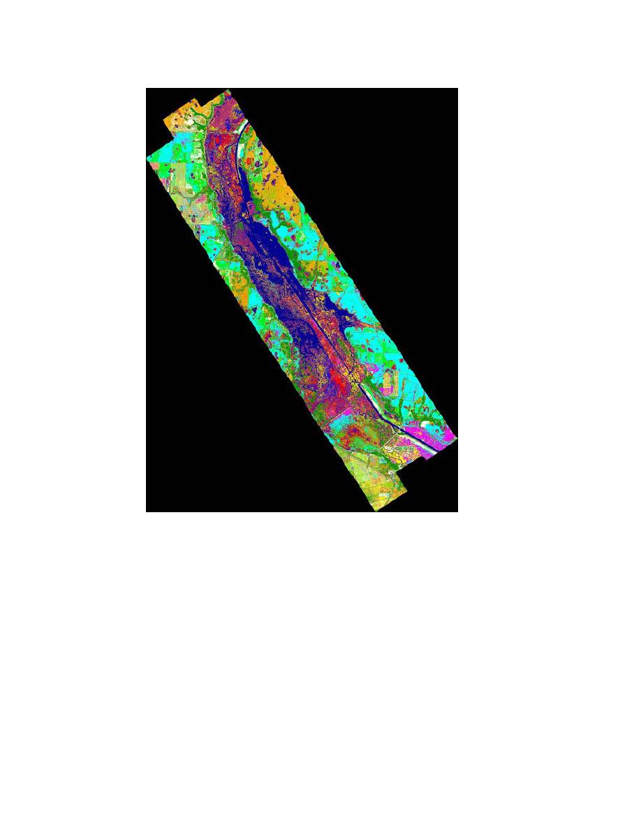
Figure 5-25. Hyperspectral classification image of the Kis-
simmee River in Florida (Image created by Lowe Engineers -
LLC and SAIC, 2003). Classifications of 28 vegetation com-
munities are based on a supervised classification.
(b) Thermal Data. Thermal image processing techniques are used to im-
age objects by the analysis of their emitted energy (Figure 5-26). The thermal
band wavelength ranges are primarily 8 to 14 m and 3 to 5 m. The analysis of
thermal data is typically used in projects that evaluate surface temperatures, such
as oceans and ice sheets, volcano studies, and the emission of heat from man-
made objects (e.g., pipelines).
5-43


 Previous Page
