2
ERDC/CRREL TR-02-14
Canada
16
North Dakota
Montana
RT 85
RT 83
Milk River
Fort Peck Reach
RT 2
RT 2
Culbertson
Williston
Wolf Point
Missouri River
Fort Peck Dam
Ft. Peck Lake
Lake Sakakawea
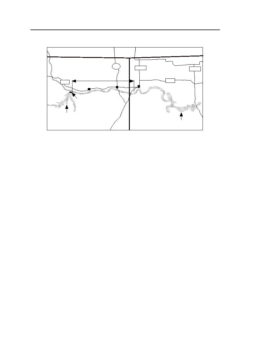
Figure 1. Fort Peck reach of the Missouri River.
ties (e.g., Haydon 1931, USACE 1933, USACE-Omaha 1998a). The reach
extends about 170 miles from Fort Peck Dam to Lake Sakakawea and includes
the river's confluence with the Yellowstone River. The study reach covered 97
miles in the central portion of the Fort Peck reach.
The survey entailed extensive monitoring and detailed measurements of
channel bathymetry, ice conditions, and flow velocity distribution. It was con-
ducted at five sites during the winter of 1998-99. A useful feature of the reach,
for survey purposes, is that the river's flow discharge is known, because Fort
Peck Dam regulates winter flow through the reach with little contribution by
tributaries within the reach. Further useful features are the accessibility of the
survey sites and the logistical support provided by the communities along the
reach.
An important additional objective of the survey was to evaluate the perform-
ance of the various instrumentation techniques for measuring flow velocity,
bathymetry, and ice thickness in ice-covered rivers. Several of the techniques
used were inventive, such as the use of ground-penetrating radar for measuring
bathymetry through an ice cover, microwave radar for ice-thickness profiling,
time-domain reflectometer (TDR) scour monitors for real-time monitoring of bed
elevation, and video cameras for remote monitoring of survey sites. Information
on instrumentation performance will be useful for possible future monitoring of
the Missouri and other alluvial channel rivers under winter conditions.


 Previous Page
