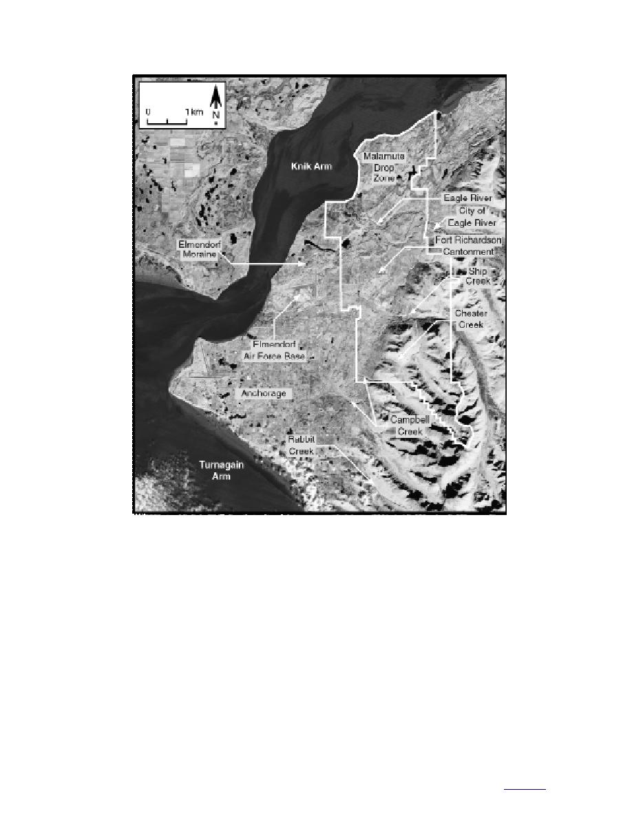
Figure 1. General location of Fort Richardson, showing drainages described in the text (white line is border of fort).
including hummocky moraine, drumlin fields,
basis of data available at the start of the study.
and outwash plains. Hills, mostly composed of
Field data collected following this study will be
glacial drift, lie at the base of the Chugach Moun-
presented in a subsequent report.
tains. These hills are separated by gently sloping
alluvial fans formed by streams originating in the
Physiography
mountains. Rolling uplands border the Chugach
Fort Richardson lies in the Cook InletSusitna
Mountains and extend to elevations of 914 m.
Lowland and KenaiChugach Mountains physio-
The rugged Chugach Mountains rise abruptly
graphic provinces of Wahrhaftig (1965) (Fig. 2).
to more than 2000 m along their front, with a
The Anchorage Lowland is a roughly triangular
flanking region of peaks and ridges generally
area below 152 m elevation located between the
1000 to 1500 m high. Only the western flank of the
Knik and Turnagain Arms. It is characterized by
mountains is contained in Fort Richardson,
rolling hills with 15 to 76 m of relief. To the west,
where elevations reach about 1615 m. The Chu-
the terrain flattens across a broad alluvial plain
gach Mountains are cut by a series of northwest-
that is locally incised by broad, shallow channels.
trending U-shaped valleys, including those cur-
The Anchorage Lowland is characteristic of glaci-
rently occupied by Ship Creek and Eagle River
ated terrain and contains various landforms,
2
to contents


 Previous Page
