Middle Tanana Floodplain
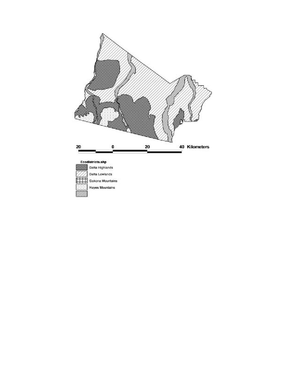
Figure 3. Major subdivisions of Fort Greely (ecodistricts) based on
physiography from Jorgenson et al. (2000).
Forests
this burned area has burned more than once. Many sites
showed varying degrees of recovery from fires occur-
Large mosaics of closed and open-canopy broadleaf
ring within the last decade.
forests of aspen and paper birch, and mixed white
sprucebroadleaf forests, cover much of the northeast-
Alpine
ern section of the base (Fig. 4b). White sprucelichen
Treeline in the mountains and highland plateaus on
woodlands covered large areas of the Jarvis Creek low-
Fort Greely occurs at about 900 m. The southern por-
lands in the southeast. Lowland forests and woodlands
tions of the base contain small mountains and the foot-
were represented by balsam poplar stands in well-
hills of the Alaska range (Fig. 4c). In the southwestern
drained alluvium, white spruce forests on well-devel-
corner of the base, the Molybdenum Ridge group,
oped mesic terraces and some moraines, and black
mostly granitic rock with some sedimentary rock on
spruce muskegs at poorly drained sites. Tamarack was
present but not found to be a major component of low-
the northern side, supported a wide variety of alpine
habitats. Low birch and dwarf ericaceous scrub domi-
land areas.
nated large areas. Ridge tops supported Dryas
Burns
octopetalalichendwarf willow communities, and
drainages contained tall riparian communities of wil-
Both uplands and lowlands have been greatly influ-
enced by fire (Fig. 4b). Jorgenson et al. (2001) esti-
low and alder. They supported many species of the gen-
era Draba, Saxifraga, Senecio, and Minuartia.
mated that 59% of Fort Greely (153,812 ha) has been
burned since 1950, although a substantial portion of
Additionally, the terminus of the Trident Glacier is
4


 Previous Page
