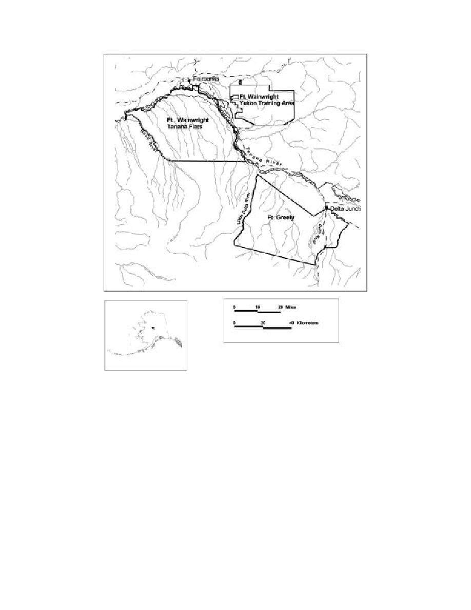
Figure 1. Fort Greely and Fort Wainwright military installations.
19.9C for January. The average annual precipitation
is a major user of Fort Greely and has delineated the
is 297 mm and annual snowfall averages 178 cm.
Oklahoma/Delta Creek Impact Areas as the primary
sites of military aircraft training. About 62,720 ha
Geomorphology and vegetation
(156,800 acres) or 25% of the entire base is used as an
Jorgenson et al. (2001) described and mapped the
Army artillery and Air Force impact area (Fig. 2)
geomorphology, vegetation, and ecosystems of Fort
Climate
Greely using an Ecological Land Classification ap-
proach. They mapped geomorphic units, with 22 of them
The continental climate of interior Alaska has ex-
being fluvial, 3 being eolian, 4 being glacial, and 5 be-
treme annual temperature variations and relatively low
ing organic classes. Glacial and eolian processes domi-
precipitation. Although light winds are typical over
nate, with the earlier Delta glaciation and the later
much of the interior region, Fort Greely experiences
Donelly glaciation producing the moraines and associ-
strong gusty winds, particularly from the south (Benson
ated deposits of eolian sediments (Church et al. 1965,
1972). According to U.S. Weather Bureau records
(193798), the mean annual temperature is 2.3C, with
Pw and Reger 1983). Jorgenson et al. (2001) also
extremes ranging from 51 to 38C (Nelson 1995). The
mapped five ecodistricts (Fig. 3) on the basis of physi-
ography and climate associated with topography. Moun-
mean monthly temperature is 15.6C for July and
2


 Previous Page
