Digitize ice
Scan and
polygons on the
crop NWS
rectified image
ice charts
Enter
Store ice
attribute data
charts as
.tif files
Save
original
Display ice
coverage
chart image
Identify Lat/Lon
Change to
registration
Mercator projection
points
Register ice
Convert new
charts using
coverage to
Lat/Lon
ArcInfo Grid
Compute mean, max,
and min statistics for
1/2-month periods
Cull registration
Check RMS
UNSAT
points with
error of
greatest RMS
registration
error
Reclassifiy
to integer grids
SAT
Convert to
Check RMS
polygon themes
Rectify & save
error of
new image
registration
SAT
Prepare ice
UNSAT
charts
Display
rectified
image
END
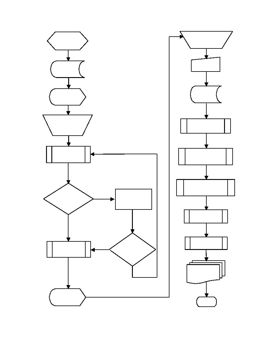
Figure C1. Cook Inlet Ice GIS Analysis Process
94


 Previous Page
