Approx. 4.83 km (9.45 m model)
Head
Box
Head
Box
1.52 m
Jamming
Location
Misso
uri
River
Ice
Tray
Duck
Island
Model Scale:
x = 1:500
Tailgate
y = 1:100
Weir
Return Trough
Pump
PLAN VIEW OF MODEL BASIN
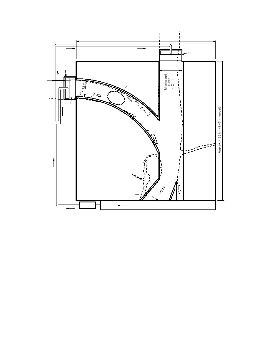
Figure 24. Tentative location of incipient jamming observed in the modeled Missouri River.
growth, causes ice jams at the confluence. Wind,
needed for two confluent ice discharges to jam.
Attaining this objective entails doing parametric
too, may have a significant effect. Ice discharged
experiments to evaluate the jamming limits of the
from the Missouri River, without the aforemen-
tioned irregularity or obstructions, does not jam
more important parameters identified in eq 7 and
12. The second objective is to determine the pro-
at the confluence. Ice may jam in the Missouri
cesses whereby ice (from one or two channels)
River at a short distance upstream of the
moves through a confluence, and to assess how
confluence, however. Future study of bathymet-
confluence bathymetry and border ice growth may
ric effects and border ice growth is warranted.
substantially hamper ice discharge.
PIV for mapping ice velocities
The preliminary work with the hydraulic model
Ice discharge through the confluence of the
proves the utility of PIV for determining whole-
Missouri and Mississippi rivers
field velocities of water and model ice movement
The hydraulic model suggests that some form
in the hydraulic model. This finding, together with
of bathymetric irregularity or combination of flow
successful application of PIV for determining sur-
obstructions, such as a large dune and border-ice
29


 Previous Page
