High Spatial Resolution Digital Imagery
29
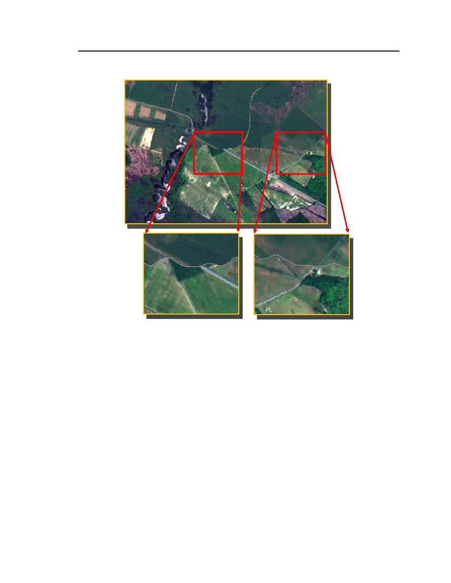
Figure 17. Examples of the geometric quality of the AISA imagery. The
vendor provided no quantitative assessment of the actual error in
registration. A qualitative evaluation suggests that the geo-rectification
processes used to rectify the AISA flightlines are adequate for this
application. The gray line, within the insets, defines the boundary (or seam)
between the two adjacent flightlines. The area shown is along Route 336
north of Crapo.
3.3.2
Radiometric Correction
3.3.2.1 Histogram Evaluation and Adjustment. During the construction of the
preliminary mosaics, the radiometric fidelity of adjacent flightlines was observed
to be relatively poor. Figures 18 and 19 show the radiometric departure between
two adjacent flightlines. It was clear that some form of radiometric normalization
or equalization would be needed to minimize the dramatic brightness shifts be-
tween overlapping images. At the beginning of this research effort, we assumed


 Previous Page
