Chapter 4. Vegetation
105
ordinary high water location over time. For example, large mature P. fremontii
trees persist on a 3-m-high terrace on the Fremont River in Utah. This surface,
which represents the pre-1896 floodplain, is no longer subjected to regular
flooding due to channel incision (Everitt 1995). On the Hassayampa River in
Arizona, floodplain elevation, distance to the river channel, and depth to
groundwater all increased with increasing Populus-Salix stand age for trees up to
50 years old, suggesting pronounced changes in the relative positions of the
floodplain and channel over time (Stromberg et al. 1991). In such cases, forest
patterns may be relicts of past inundation levels and may not provide information
about present hydrologic patterns.
On the other hand, the presence of seedlings, saplings, or "poles" of pioneer
riparian tree species may be a good indicator of the level of ordinary high flows
under the present geomorphic and hydrologic regime. That is, if no rare large
floods have occurred within the past several years, then the spatial distribution of
young to middle-aged pioneer trees could be a useful indicator of the extent of
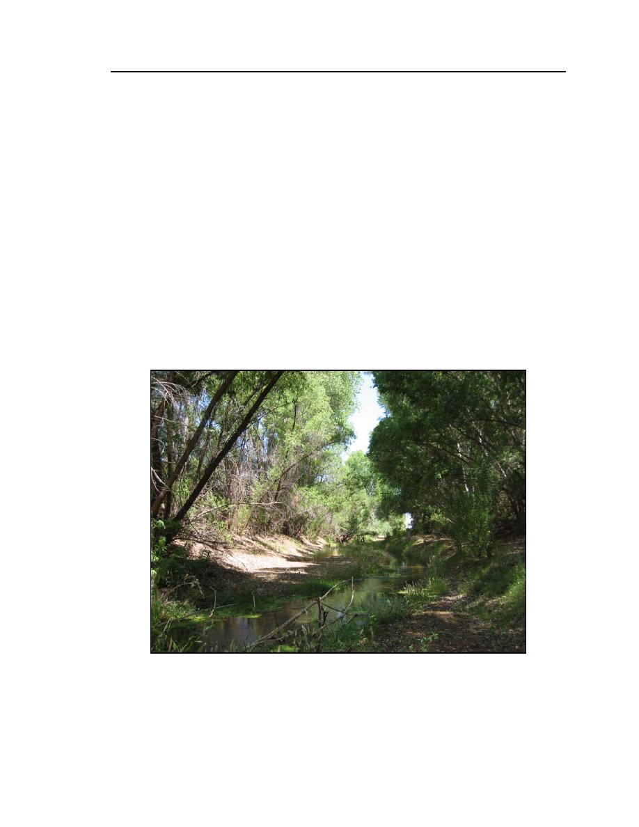
recent fluvial disturbance (Fig. 24). For example, on the Arikaree and South Fork
Figure 24. Hydromesic riparian vegetation at a perennial site on the San
Pedro River, Arizona. The low floodplain forest is dominated by Populus
fremontii and Salix gooddingii poles.


 Previous Page
