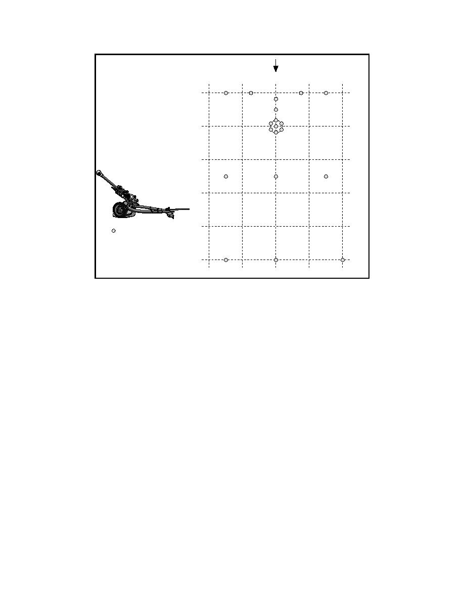
Gun Orientation
4
2
0
2
4m
0m
2
4
6
8
Samples Collected
Gun #1
105-mm Howitzer
10
Figure 4. Template for sampling at Gun 1 firing point, Fort Lewis
2.5, 5.0, 10.0, 15.0, and 20.0 m (Figure 5). Surface soil samples were also col-
lected perpendicular to the muzzle of the gun on both sides at distances of 1.5,
3.0, and 6.0 m. Surface soil samples were also collected 3.0 m perpendicular to
the direction of fire on both sides at distances of 5.0, 10.0, 15.0, and 20.0 m from
the muzzle. This sampling scheme produced a total of 23 soil samples at Gun 2
(Figure 5).
Artillery range impact area
The artillery impact area (91st Division Prairie) at Fort Lewis consists of
approximately 3,800 ha. The portion of the impact range chosen for sampling
was approximately 1 km in diameter and was centered at the approximate impact
point for the 105-mm howitzers described earlier. Two EOD technicians from the
707 Ordnance Disposal Company at Fort Lewis assisted in matters of safety, in
determining the type of round that had created specific craters, and in estimating
the age of each crater. Soil from the impact area was characterized (Table 1).
Vegetation consisted mainly of grasses and low shrubs and a few, widely
scattered, small evergreen trees. Samples were collected throughout this area
around various points of interest. The most recent craters were produced the day
before sampling from the impact of the 105-mm howitzer rounds. Several mortar
craters from variously sized rounds were considered recent, within the last
13
Chapter 2 Characterization of Explosives Contamination at Military Firing Ranges


 Previous Page
