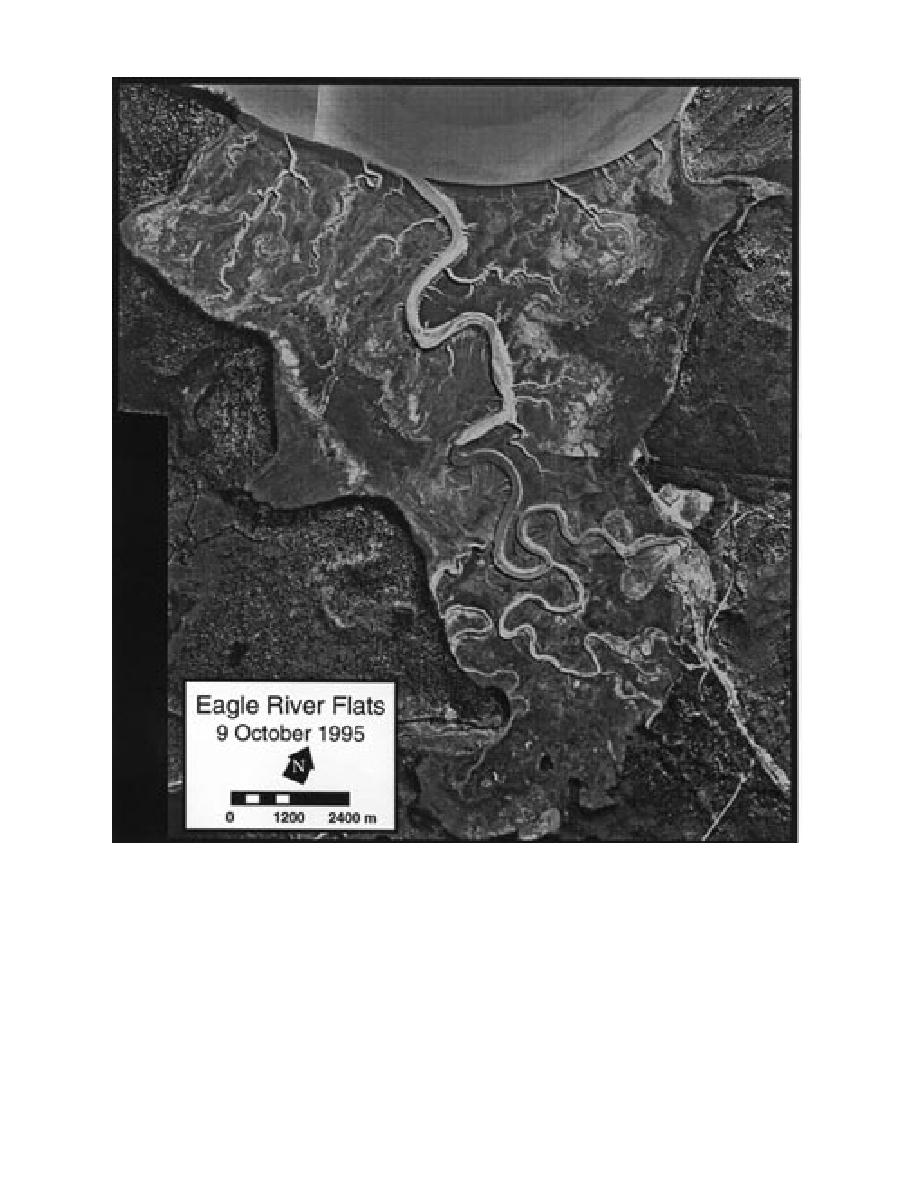
Figure 2. 1995 aerial photograph of ERF showing the dendritic drainage network.
uplands adjacent to ERF (Fig. 4, Racine et al.
low ponds (to 50 cm depth) are aligned ap-
1993). They commonly vary in location by el-
proximately parallel to the Eagle River and
evation and thereby are related to the land-
coastline (Racine et al. 1992a). Freshwater ponds
or shrub bogs bordered the upland along the
salt tolerance, drainage capacity and sedimen-
northeast and southwest portions of ERF.
tation rates. Levees, mudflats, marshes and shal-
3


 Previous Page
