EM 1110-2-2907
1 October 2003
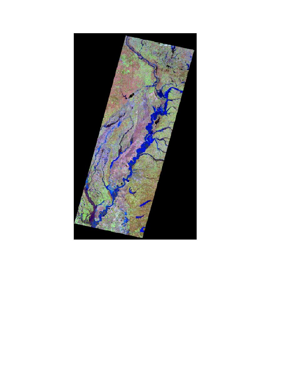
Figure 5-39. The mosaic of three Landsat images dis-
plays flooding along the Mississippi River, March
1997.
j. Statistical Analysis and Accuracy Assessment. Accuracy assessment means
the correctness or reliability in the data. Error is inherent in all remote sensing
data. It is important to establish an acceptable level of error and to work within
the resolution of the image. Working within the means of the resolution of an im-
age is important for maintaining the desired accuracy. Attempting to extract in-
formation from an image for which objects are not clearly resolvable will likely
lead to incorrect assumptions. Error can be introduced during acquisition by the
sensor and while performing geometric and radiometric correction and image en-
hancement processes. Another major source of error lies in the misidentification
and misinterpretation of pixels and groups of pixels and their classification.
5-57


 Previous Page
