EM 1110-2-2907
1 October 2003
isting sensors while older or poorly designed sensors become decommissioned or de-
funct. Some sensors are flown on only one platform; a few, such as MODIS and MSS,
are on-board more than one satellite. The spectral data collected may span the visible
(optical), blue, green, microwave, MIR/SWIR, NIR, Red, or thermal IR Sensors can de-
tect single wavelengths or frequencies and/or ranges of the EM spectrum.
3-13 Satellite Orbits.
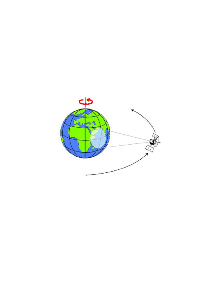
a. Remote sensing satellites are placed into different orbits for special purposes. The
weather satellites are geo-stationary, so that they can image the same spot on the Earth
continuously. They have equatorial orbits where the orbital period is the same as that of
the Earth and the path is around the Earth's equator. This is similar to the communication
satellites that continuously service the same area on the Earth (Figure 3-2).
Figure 3-2. Satellite in Geostationary Orbit. Courtesy of the
Natural Resources Canada.
b. The remaining remote sensing satellites have near polar orbits and are launched
into a sun synchronous orbit (Figure 3-3). They are typically inclined 8 degrees from the
poles due to the gravitational pull from the Earth's bulge at the equator; this allows them
to remain in orbit. Depending on the swath width of the satellite (if it is non-pointable),
the same area on the Earth will be imaged at regular intervals (16 days for Landsat, 24
days for Radarsat).
3-12


 Previous Page
