EM 1110-2-2907
1 October 2003
allows users to isolate small objects such as individual trees. Photographs obtained at
high altitudes produce a small-scale, which gives a broader view of surface features.
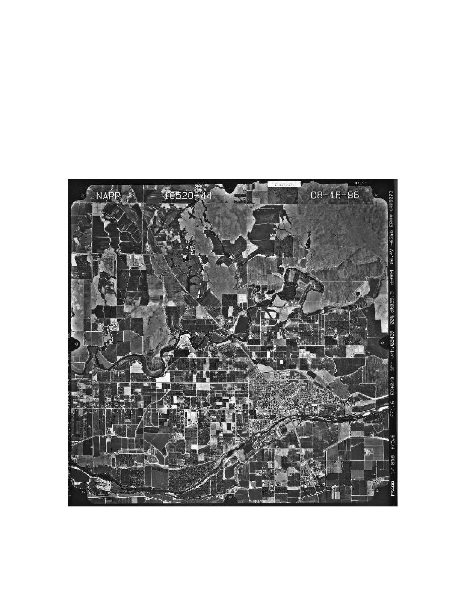
c. In addition to the actual print or digital image, aerial photographs typically include
information pertaining to the photo acquisition. This information ideally includes the
date, flight, exposure, origin/focus, scale, altitude, fiducial marks, and commissioner
(Figure 2-34). If the scale is not documented on the photo, it can be determined by taking
the ratio of the distance of two objects measured on the photo vs. the distance of the same
two objects calculated form measurements taken from a map.
Photo scale = photo distance/ground distance = d/D
(2-11)
Figure 2-34. Aerial photograph of a predominately agricultural area near Modesto, Califor-
nia. Notice the ancillary data located on the upper and right side margins. These data pro-
vide information regarding the location and acquisition of the photo.
2-43


 Previous Page
