Ice Jam Flooding on the Missouri River
Near Williston, North Dakota
JAMES L. WUEBBEN AND JOHN J. GAGNON
in the BufordTrenton Irrigation District. This re-
INTRODUCTION
port describes an ice regime assessment that was
The BufordTrenton Irrigation District is
conducted to characterize ice jam flooding in the
located along the Missouri River about 15 miles
vicinity of the BufordTrenton District and to
upstream of the city of Williston, North Dakota,
identify potential flood mitigation measures.
on the extreme western edge of the state. This
area is at the upper end of the Garrison Dam
SITE DESCRIPTION
Lake Sakakawea Project within the Omaha Dis-
trict of the U. S. Army Corps of Engineers. With
The BufordTrenton Irrigation District (here-
the closure of Garrison Dam in 1953, Lake Saka-
after called the "District") was constructed in the
kawea began filling, reaching its maximum nor-
early 1940s with joint assistance from the Bureau
mal pool elevation of 1850 feet above mean sea
of Reclamation and the Department of Agricul-
level (msl) in 1965. Changes in the hydraulics,
ture. The District is located approximately 170
sedimentation and ice regime of the Missouri
miles upstream of Garrison Dam, at the upper
River caused by the impoundment of Lake Saka-
end of Lake Sakakawea and just downstream of
kawea have led to a rise in groundwater levels
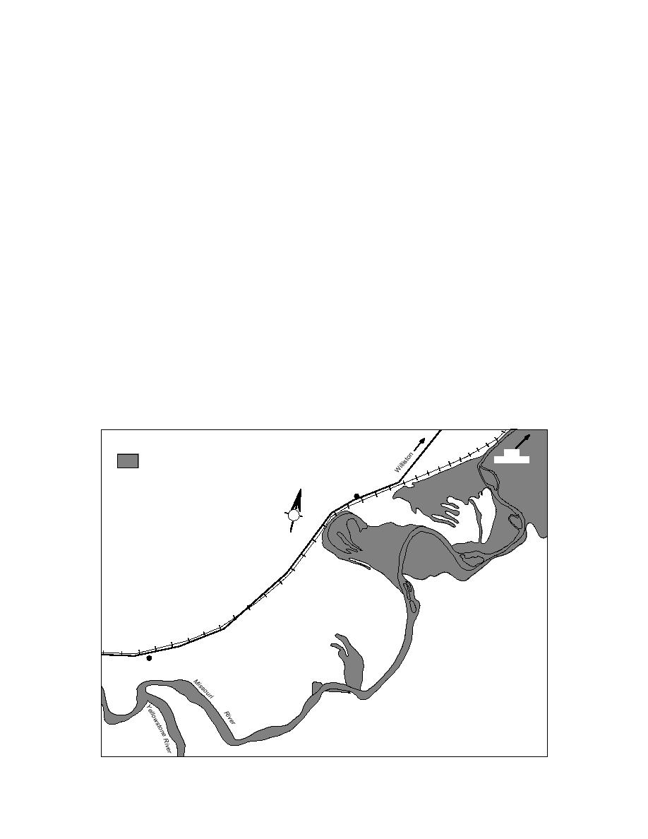
the mouth of the Yellowstone River (Fig. 1).
and an increased potential for overbank flooding
The District is divided by bends in the Mis-
Lake
Subject to
Sakakawea
Controlled Inundation
Trenton
Lake
N
Trenton
East
Bottom
Middle
Bottom
Buford
West
Bottom
Zero
Bottom
Figure 1. Location of the BufordTrenton Irrigation District.


 Previous Page
